GOMX‑5 CubeSat set to test ship‑spotting and self‑steering in space
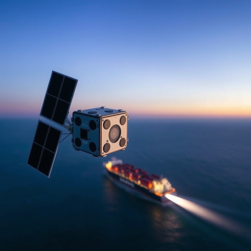
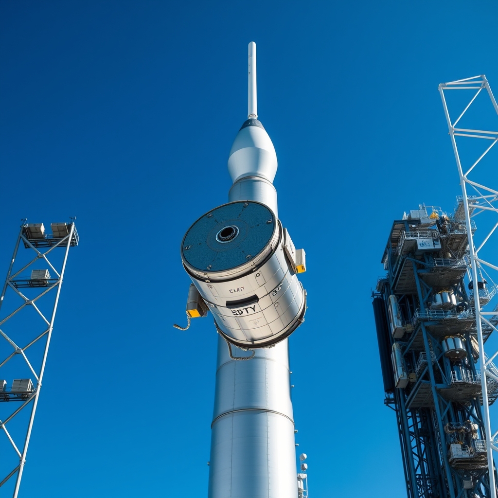
According to ESA Space Engineering & Technology, the ESA‑supported CubeSat mission GOMX‑5 is integrated into its deployer and slated for launch in October 2026. The tiny spacecraft will test technologies aimed at spotting ships from orbit and automatically moving away from other satellites, supporting safer seas and cleaner orbits.
Mission Overview
A CubeSat is a miniature satellite built from standardized cube‑shaped units (1U = 10 × 10 × 10 cm). GOMX‑5 uses a 6U form factor, roughly the size of a large shoebox, and will ride as a secondary payload on a commercial launch vehicle from Kourou. Developed by GomSpace under ESA’s General Support Technology Programme (GSTP), the mission’s primary goals are to demonstrate:
- Enhanced maritime awareness detection from low‑Earth orbit (LEO).
- An automated collision‑avoidance routine that can generate and execute manoeuvres without ground intervention.
- Operational concepts that feed into ESA’s Zero Debris ambition, which seeks to minimise new debris creation. The satellite will carry a compact synthetic‑aperture radar (SAR) payload for ship detection, a low‑power processor to run the avoidance algorithm, and a set of thrusters for small orbital adjustments.
Maritime Awareness from Low‑Earth Orbit
Traditional ship‑tracking relies on the Automatic Identification System (AIS), a radio broadcast that vessels emit. AIS works well near coastlines but degrades in open oceans and can be switched off. A SAR instrument on a CubeSat can illuminate the sea surface with microwave pulses and measure the reflected signal, creating high‑resolution images regardless of weather or daylight. By processing these images on‑board, GOMX‑5 can flag vessels that are not broadcasting AIS, improving maritime domain awareness for coast guards, fisheries, and anti‑piracy units. The key mechanism is coherent processing: multiple radar echoes are combined to synthesize a larger antenna aperture, yielding finer detail than the physical antenna size would allow. The result is a map of ship silhouettes that can be cross‑referenced with AIS data to spot anomalies.
Automated Collision Avoidance and Zero‑Debris Goals
LEO is becoming crowded; more than 23 000 objects larger than 10 cm are tracked, and collisions generate thousands of new fragments. Current practice requires ground stations to monitor conjunctions and issue manoeuvre commands, a process that can take hours. GOMX‑5 will test an autonomous system that:
- Receives conjunction data from ESA’s Space Surveillance network.
- Computes a minimum‑fuel manoeuvre using a simplified orbital mechanics model.
- Fires its on‑board cold‑gas thrusters to shift its orbit by a few metres. In practice this usually means the satellite can respond to a predicted close approach within a single orbit, reducing the chance of a collision and the need for ground‑based intervention. The trade‑off is that autonomous thruster use consumes propellant, limiting mission lifetime, and raises questions about who is responsible if an automated burn creates a new risk.
How GOMX‑5 differs from earlier demos
| Mission | Form factor | Primary payload | Autonomous avoidance? | Maritime focus |
|---|---|---|---|---|
| GOMX‑3 | 3U | GNSS‑R (radio) | No | No |
| GOMX‑4 | 6U | Multi‑band camera | Limited (ground‑triggered) | No |
| GOMX‑5 | 6U | Mini‑SAR + processor | Full on‑board autonomy | Yes |
| The table shows that GOMX‑5 combines two capabilities that were previously tested separately: a radar sensor for ship detection and a self‑steering algorithm for debris avoidance. This integration is the first step toward a multi‑purpose CubeSat that can serve both maritime and orbital‑safety customers. |
What the launch really means for orbital debris and maritime safety
The headline is that GOMX‑5 will prove a “dual‑use” concept: a single low‑cost platform can help protect both the seas and the sky. The trade‑off nobody spells out is the limited propellant budget. Autonomous avoidance burns are efficient for small manoeuvres, but each burn reduces the satellite’s remaining lifetime. If the algorithm is overly aggressive, the mission could burn out before it gathers enough maritime data to justify the cost. Who benefits? National coast guards and commercial shipping firms gain a new source of ship‑track data that is harder to spoof than AIS alone. Satellite operators gain a proof‑of‑concept for on‑board debris avoidance, potentially lowering the cost of ground‑segment monitoring. Who loses? Entities that rely on the status quo of manual collision avoidance may see a shift in responsibility toward satellite manufacturers, raising liability questions. What to watch next? ESA plans to publish the first on‑orbit data set in early 2027, including SAR images of the North Atlantic and logs of any autonomous burns. The performance of the avoidance algorithm will be compared against the existing ESA Conjunction Assessment Service. If GOMX‑5 shows reliable self‑steering, the next GSTP round may fund a constellation of similar CubeSats, scaling the maritime‑awareness service and providing a distributed network for debris avoidance.
Practical steps you can take today
- Marine operators should register for ESA’s free maritime‑awareness data portal; early access will let them test integration with existing vessel‑tracking software.
- Satellite manufacturers interested in autonomous avoidance can start by benchmarking GOMX‑5’s thruster specifications against their own CubeSat designs.
- Policymakers can begin drafting guidelines that define liability for on‑board manoeuvres, ensuring that autonomous systems do not create legal grey zones. By keeping an eye on the mission’s data releases and the upcoming GSTP calls, stakeholders can position themselves to leverage the technology before it becomes mainstream.