Mars Express Unveils Amazonis Mensa: Wind‑Carved Yardangs and Ancient Lava Flows
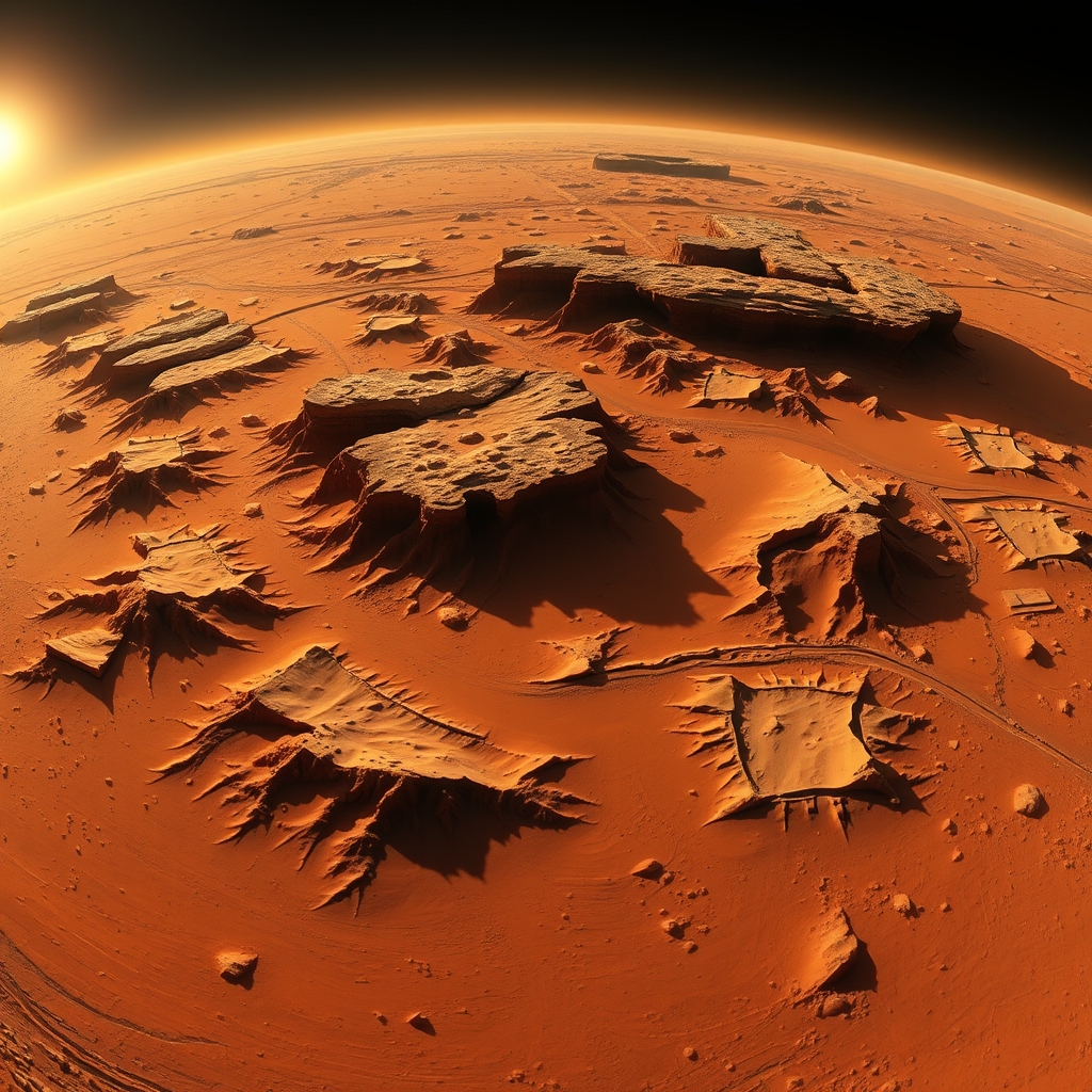
According to ESA Space Science, the European Space Agency’s Mars Express mission has captured a high‑resolution view of Amazonis Mensa, a flat‑topped mountain that rises roughly three kilometres above the surrounding plains – about three times the height of Earth’s Table Mountain. The image, taken on 14 June 2026, shows how wind‑driven erosion and ancient lava resurfacing have sculpted this ancient part of Mars.
Amazonis Mensa and Its Neighbouring Dorsums
Amazonis Mensa dominates the centre‑right of the picture, but it is only one of three elongated ridges that stretch across this region. To the east lies Gordii Dorsum and to the west, Eumenides Dorsum. All three share a finger‑like shape that gradually becomes shallower as they approach the lowlands. Their height, up to three kilometres, makes them prominent landmarks in an otherwise gently rolling plain.
Ancient Lava Flows: A Three‑Billion‑Year‑Old Surface
The smooth, orange‑toned terrain surrounding the ridges bears the imprint of lava that flooded the area about three billion years ago. This basaltic flow filled older impact craters, leaving only rim outlines visible in some cases. A notable example is a crater that is almost completely buried, its rim the sole reminder of its existence. Adjacent to this half‑buried crater runs a 50‑km‑long valley that is partially filled with the same smooth material, while a narrower 20‑km‑long channel snakes next to another crater, also partly filled.
| Feature | Length | Primary Origin |
|---|---|---|
| Valley next to half‑buried crater | ~50 km | Lava‑filled valley (ancient flow) |
| Narrow channel beside second crater | ~20 km | Lava‑filled channel (ancient flow) |
| Amazonis Mensa height | ~3 km | Tectonic uplift + erosion |
These dimensions come directly from the HRSC (High Resolution Stereo Camera) image, which has a ground resolution of about 24 m per pixel.
Yardangs: Mars’ Sand‑blasted Sculptures
Encircling Amazonis Mensa are rows of ridges known as yardangs. Yardangs form when loose sand particles are accelerated by wind and act like a natural sandblaster, eroding the underlying rock into streamlined shapes that align with the prevailing wind direction. Two distinct groups of yardangs appear in the picture, each pointing in a different direction, indicating that wind patterns have shifted over time. The presence of Amazonis Mensa itself influences local wind flow, creating the observed dual orientation.
How the New View Improves Our Understanding of Martian Weather
Mars Express has been mapping the planet in colour and three dimensions since its launch in 2003. The latest HRSC capture adds unprecedented detail to the study of wind‑driven erosion. By comparing the orientation of the two yardang groups, scientists can infer how the ancient topography redirected atmospheric currents. The data suggest that Amazonis Mensa acted as a barrier, accelerating wind on its leeward side and slowing it on the windward side, a pattern that matches modern atmospheric models of how large obstacles shape Martian wind fields.
What This Means for Mars’ Climate History (Analysis)
The key takeaway is that the Amazonis Mensa region records a sequence of geological processes: a massive volcanic episode, followed by long‑term wind erosion, and finally the gradual burial of impact craters. The trade‑off in interpreting this record is that while the lava flow smooths the landscape and hides older features, it also preserves wind‑erosion patterns that would otherwise be erased. In practice this means the area offers a rare “layer cake” of Mars’ past, where each layer can be read almost independently. Researchers should watch for future high‑resolution radar or spectroscopic data that could confirm the composition of the smooth material – whether it is pure basaltic lava or a mixture with later dust deposits. If the material proves to be primarily basalt, it strengthens the case for widespread volcanic resurfacing around three billion years ago, pushing the timeline for major volcanic activity later than some models predict.
How You Can Explore the Data Yourself
The HRSC image is publicly available through ESA’s online archive. Interested readers can download the raw data (24 m/pixel resolution) and use free GIS tools such as QGIS to overlay topographical contours or generate their own 3D visualisations. For educators, the interactive version of the image lets students zoom, pan, and click on markers that highlight the most interesting features, turning a static picture into a hands‑on lesson about planetary geology.