ESA launches Lunar X‑view challenge to solve rover navigation without Earth contact
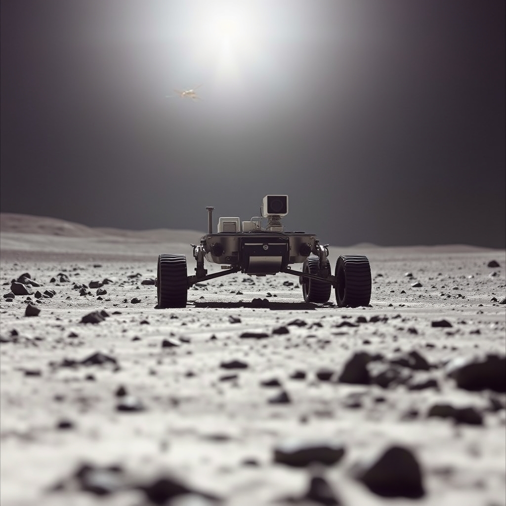
A new ESA competition asks anyone with coding skills to help a solitary lunar rover find its exact spot before the long night sets in. The outcome could let future rovers roam farther without relying on constant Earth guidance.
According to ESA Space Engineering & Technology, the Advanced Concepts Team will release the data set on 1 November 2026 and score submissions automatically on its Kelvins platform.
The Lunar X‑view scenario
The imagined rover stands on the Moon with a single panoramic camera and an overhead map taken from orbit. It has no radio link, no GPS, and no prior knowledge of its coordinates. The task is to write an algorithm that recognises landmarks in the ground‑level image and aligns them with the orbital map, thereby pinpointing the rover’s location.
How panorama‑to‑orbital matching works
A panoramic image is a 360° view stitched from multiple frames; it contains shadows, craters and boulder patterns that are unique to a small area. An orbital image is a top‑down view captured from a satellite, showing the same terrain but from a very different angle. The matching process follows three steps:
- Feature extraction – the algorithm identifies distinctive points (edges, corners, texture patches) in both images. Common techniques include SIFT (Scale‑Invariant Feature Transform) and ORB (Oriented FAST and Rotated BRIEF), which remain robust despite changes in scale or illumination.
- Geometric transformation – using the extracted features, the algorithm computes a transformation matrix that maps the panoramic coordinates onto the orbital frame. This often involves solving a perspective‑n‑point problem, where the 3‑D positions of a few landmarks are inferred from 2‑D image data.
- Location estimation – once the transformation is known, the rover’s position is derived by intersecting the camera’s pose with the known orbital coordinates. The result is a latitude‑longitude pair on the lunar surface.
The core difficulty is that the two images have very different perspectives, so many features appear distorted or hidden. Robust matching must tolerate missing data, lunar dust glare, and the extreme contrast between sunlit and shadowed regions.
Past successes that inspire the challenge
| Challenge | Year | Goal | Data type |
|---|---|---|---|
| Pose Estimation | 2023 | Estimate spacecraft attitude from star‑tracker images | Star‑tracker photos |
| ELOPE | 2024 | Plan safe landing trajectories on uneven terrain | Lidar point clouds |
| Collision Avoidance | 2025 | Predict and avoid on‑board debris impacts | Radar echoes |
NASA’s Jet Propulsion Laboratory already demonstrated a similar workflow with the Perseverance rover on Mars, matching its ground panoramas to orbital maps to correct drift in its navigation system. That success proved the concept works on another planetary body, but the Moon presents a harsher lighting cycle and a lack of atmospheric scattering, making the problem a fresh test for the community.
What the competition really changes – the hidden trade‑offs
The public nature of the challenge forces many teams to converge on a solution within months, a speed that traditional space‑agency projects rarely achieve. However, the rapid timeline also means participants work with a fixed data set that may not capture all real‑world uncertainties, such as dust storms or camera degradation. In practice this usually means the winning algorithm will excel on the benchmark but still needs additional validation before flight use.
Another subtle shift is the move from a centralized navigation chain (Earth‑based tracking + onboard inertial sensors) to a decentralized one where the rover must infer its pose independently. This reduces communication load and latency but puts more computational burden on the rover’s hardware. Designers will have to balance algorithm accuracy against processor power, memory limits and energy consumption—critical factors for a rover that will spend weeks in darkness.
Finally, opening the problem to hobbyists and students widens the talent pool, yet it also raises questions about data security. The competition uses publicly released orbital imagery, but future missions may need to protect proprietary maps. The community will have to watch how open‑source solutions evolve when mission designers start restricting data access.
How you can join and what to watch next
The competition website will host the data files, a starter kit in Python, and a sandbox where submissions are evaluated automatically. Registration is free; you only need a computer with internet access. A practical first step is to experiment with open‑source feature‑matching libraries like OpenCV, then adapt the code to handle the extreme illumination contrast of the lunar surface.
Keep an eye on the leaderboard during the three‑month competition window. Teams that consistently rank high often publish their code on GitHub, providing a ready‑made toolkit for anyone building a real rover navigation stack. After the challenge ends, ESA plans to publish a summary of the top approaches, which could become the baseline for future lunar missions.
If you’re part of a university or a small startup, consider forming a small team (2‑4 people) to split the work: one person handles image preprocessing, another tackles the geometric fitting, and the rest focus on performance optimisation for low‑power hardware. Even if you don’t win, the experience of turning raw lunar data into a usable position fix is directly applicable to upcoming Artemis landers and commercial lunar payloads.